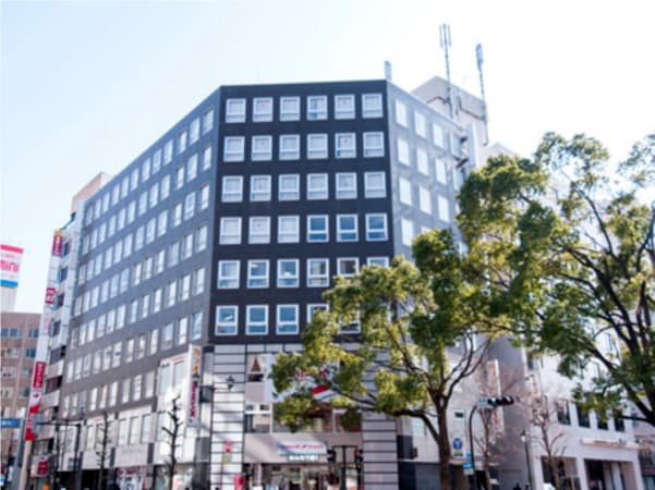
Online or onsite, instructor-led live Pix4D training courses demonstrate through interactive hands-on practice how to analyze image data and create 3D models with Pix4D.
Pix4D training is available as "online live training" or "onsite live training". Online live training (aka "remote live training") is carried out by way of an interactive, remote desktop. Onsite live Pix4D trainings in Yokohama can be carried out locally on customer premises or in NobleProg corporate training centers.
The centre is located within a 5-minute walk from JR Kannai station and a 3-minute walk from Yokohama Blue Line Subway’s Ka...
The centre is located within a 5-minute walk from JR Kannai station and a 3-minute walk from Yokohama Blue Line Subway’s Kannai station. On the north side of the centre is the traditional business district lined with governmental offices, including the prefectural office, Yokohama’s city hall, customs , and port authorities. The area is home to a large number of import / export companies. The city is known for its international air which attracts expats as well as the good old cultural heritage loved by tourists. Tourism thrives here, with many attractions, hotels near the waterfront and the retro downtown area of Motomachi. Yokohama station, one of the biggest hubs in the Tokyo metropolitan area is less than a 10 minute train-ride from this centre. Yokohama station connects to many railway companies and you will reach Tokyo or Shibuya station in 30 minutes.
This instructor-led, live training in Yokohama (online or onsite) is aimed at field ecologists and conservation managers who wish to post-process Pix4D drone data.
By the end of this training, participants will be able to:
Implement Google Earth to enhance UAV mapping .
Use outputs of images to generate reports.
Post-process with GIS and CAD software for advanced drone data modeling.
This instructor-led, live training in Yokohama (online or onsite) is aimed at field ecologists and conservation managers who wish to land survey and drone map with Pix4D.
By the end of this training, participants will be able to:
Use end to end drone mapping processes and techniques.
Achieve high surveying accuracy.
Understand the fundamentals of global coordinate systems and GPS.
Generate and analyze survey output with Pix4D's image processing software.
Online Pix4D training in Yokohama, Pix4D training courses in Yokohama, Weekend Pix4D courses in Yokohama, Evening Pix4D training in Yokohama, Pix4D instructor-led in Yokohama, Pix4D private courses in Yokohama, Pix4D coaching in Yokohama, Pix4D instructor-led in Yokohama, Evening Pix4D courses in Yokohama, Pix4D classes in Yokohama, Weekend Pix4D training in Yokohama, Pix4D on-site in Yokohama, Pix4D trainer in Yokohama, Pix4D instructor in Yokohama, Online Pix4D training in Yokohama, Pix4D one on one training in Yokohama, Pix4D boot camp in Yokohama